#326 · 1985Emberi alkotószellem remekműve · Kulturális hagyomány tanúbizonysága · Építészeti és technológiai örökség
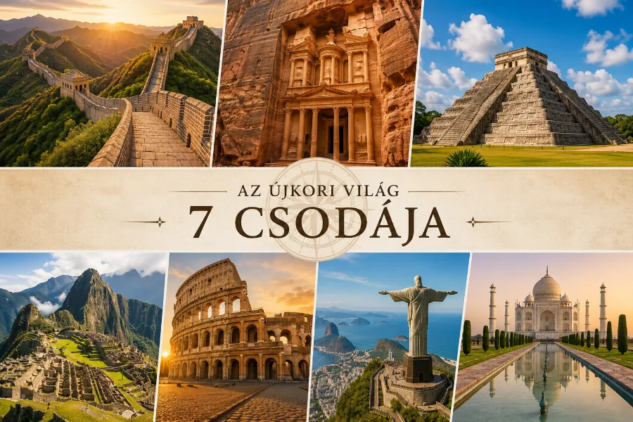
Inhabited since prehistoric times, this Nabataean caravan-city, situated between the Red Sea and the Dead Sea, was an important crossroads between Arabia, Egypt and Syria-Phoenicia. Petra is half-built, half-carved into the rock, and is surrounded by mountains riddled with passages and gorges. It is one of the world's most famous archaeological sites, where ancient Eastern traditions blend with Hellenistic architecture.
#327 · 1985Emberi alkotószellem remekműve · Kulturális hagyomány tanúbizonysága · Építészeti és technológiai örökség
Built in the early 8th century, this exceptionally well-preserved desert castle was both a fortress with a garrison and a residence of the Umayyad caliphs. The most outstanding features of this small pleasure palace are the reception hall and the hammam, both richly decorated with figurative murals that reflect the secular art of the time.
#1093 · 2004Emberi alkotószellem remekműve · Építészeti és technológiai örökség
Most of this archaeological site, which started as a Roman military camp and grew to become a town from the 5th century, has not been excavated. It contains remains from the Roman, Byzantine and Early Muslim periods (end of 3rd to 9th centuries AD) and a fortified Roman military camp. The site also has 16 churches, some with well-preserved mosaic floors. Particularly noteworthy is the mosaic floor of the Church of Saint Stephen with its representation of towns in the region. Two square towers are probably the only remains of the practice, well known in this part of the world, of the stylites (ascetic monks who spent time in isolation atop a column or tower). Um er-Rasas is surrounded by, and dotted with, remains of ancient agricultural cultivation in an arid area.
#1377 · 2011Kulturális hagyomány tanúbizonysága · Kiemelkedő hagyományos emberi település · Kivételes természeti szépség
The 74,000-hectare property, inscribed as a mixed natural and cultural site, is situated in southern Jordan, near the border with Saudi Arabia. It features a varied desert landscape consisting of a range of narrow gorges, natural arches, towering cliffs, ramps, massive landslides and caverns. Petroglyphs, inscriptions and archaeological remains in the site testify to 12,000 years of human occupation and interaction with the natural environment. The combination of 25,000 rock carvings with 20,000 inscriptions trace the evolution of human thought and the early development of the alphabet. The site illustrates the evolution of pastoral, agricultural and urban activity in the region.
#1446 · 2015Kulturális hagyomány tanúbizonysága
Situated on the eastern bank of the River Jordan, nine kilometres north of the Dead Sea, the archaeological site consists of two distinct areas: Tell Al-Kharrar, also known as Jabal Mar-Elias (Elijah’s Hill) and the area of the churches of Saint John the Baptist near the river. Situated in a pristine natural environment the site is believed to be the location where Jesus of Nazareth was baptized by John the Baptist. It features Roman and Byzantine remains including churches and chapels, a monastery, caves that have been used by hermits and pools in which baptisms were celebrated, testifying to the religious character of the place. The site is a Christian place of pilgrimage.
#689 · 2021Emberi értékek kölcsönhatása · Kulturális hagyomány tanúbizonysága
Built on three closely-spaced hills in the Balqa highland of west-central Jordan, the city of As-Salt, was an important trading link between the eastern desert and the west. During the last 60 years of the Ottoman period, the region prospered from the arrival and settlement of merchants from Nablus, Syria, and Lebanon who made their fortunes in trade, banking, and farming. This prosperity attracted skilled craftsmen from different parts of the region who worked on transforming the modest rural settlement into a thriving town with a distinctive layout and an architecture characterized by large public buildings and family residences constructed of local yellow limestone. The site’s urban core includes approximately 650 significant historic buildings exhibiting a blend of European Art Nouveau and Neo-Colonial styles combined with local traditions. The city’s non-segregated development expresses tolerance between Muslims and Christians who developed traditions of hospitality evidenced in Madafas (guest houses, known as Dawaween) and the social welfare system known as Takaful Ijtimai’. These tangible and intangible aspects emerged through a melding of rural traditions and bourgeois merchants’ and tradespeople’s practices during the Golden Age of As-Salt’s development between 1860s to 1920s.
#1721 · 2024Kulturális hagyomány tanúbizonysága
The property is a rural settlement in northern Jordan that developed organically on the site of an earlier Roman settlement around the 5th century CE and functioned until the end of the 8th century CE. It preserves basaltic structures from the Byzantine and Early Islamic periods that represent the local architecture style of the Hauran region, with some earlier Roman military buildings re-purposed by later inhabitants. The settlement formed part of a broader agricultural landscape that included a complex water catchment system, which sustained agriculture and animal herding. The earliest structures uncovered at Umm Al-Jimāl date back to the 1st century CE, when the area formed part of the Nabataean Kingdom. A rich epigraphic corpus in Greek, Nabataean, Safaitic, Latin and Arabic uncovered on the site and spanning many centuries provides insights into its history, and sheds light on the changes in its inhabitants’ religious beliefs.